Day 10: 12 April 2019
Our walk through the state continued over this last weekend. On Sunday afternoon we headed out on a 2-hour car shuffle dropping Tim’s car at the Arm River car park then driving Merran’s through to the Northern end of the February Plains.
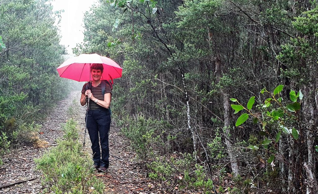
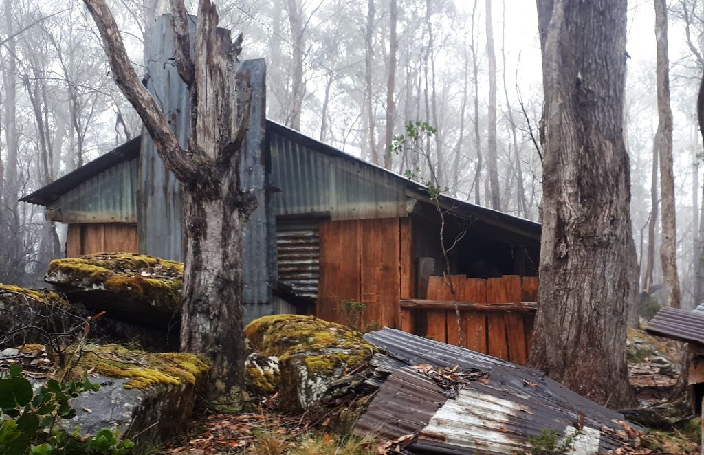
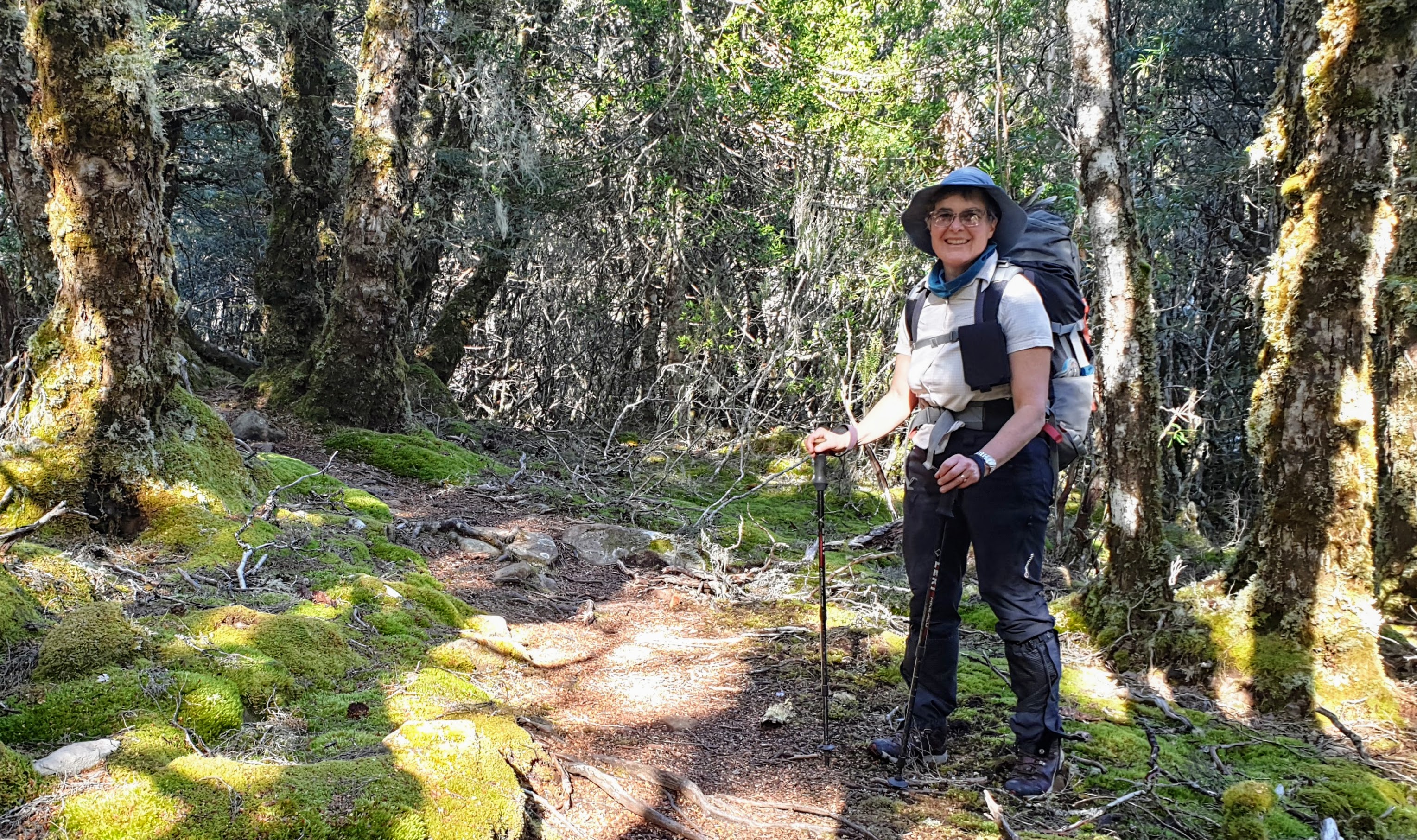
We were back in familiar territory having walked through this area a couple of times before. Packs on and a brisk walk up the old (now closed to vehicles) access track then through the bush to a remote hut hidden in
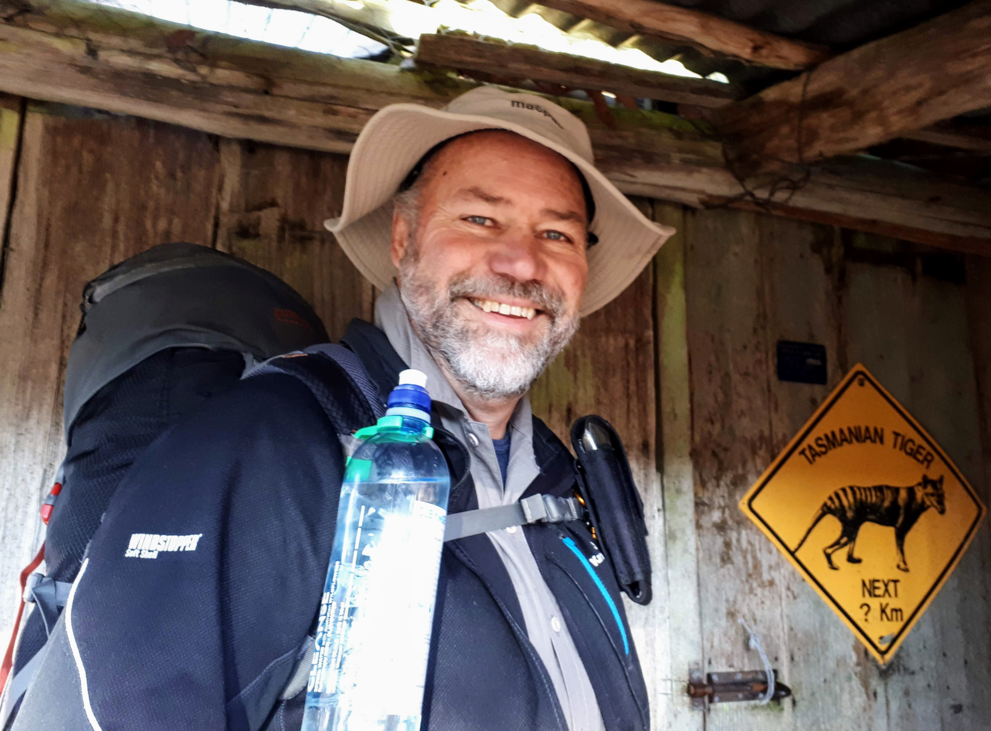
Tim is prone to taking a little more gear than needed on these trips,
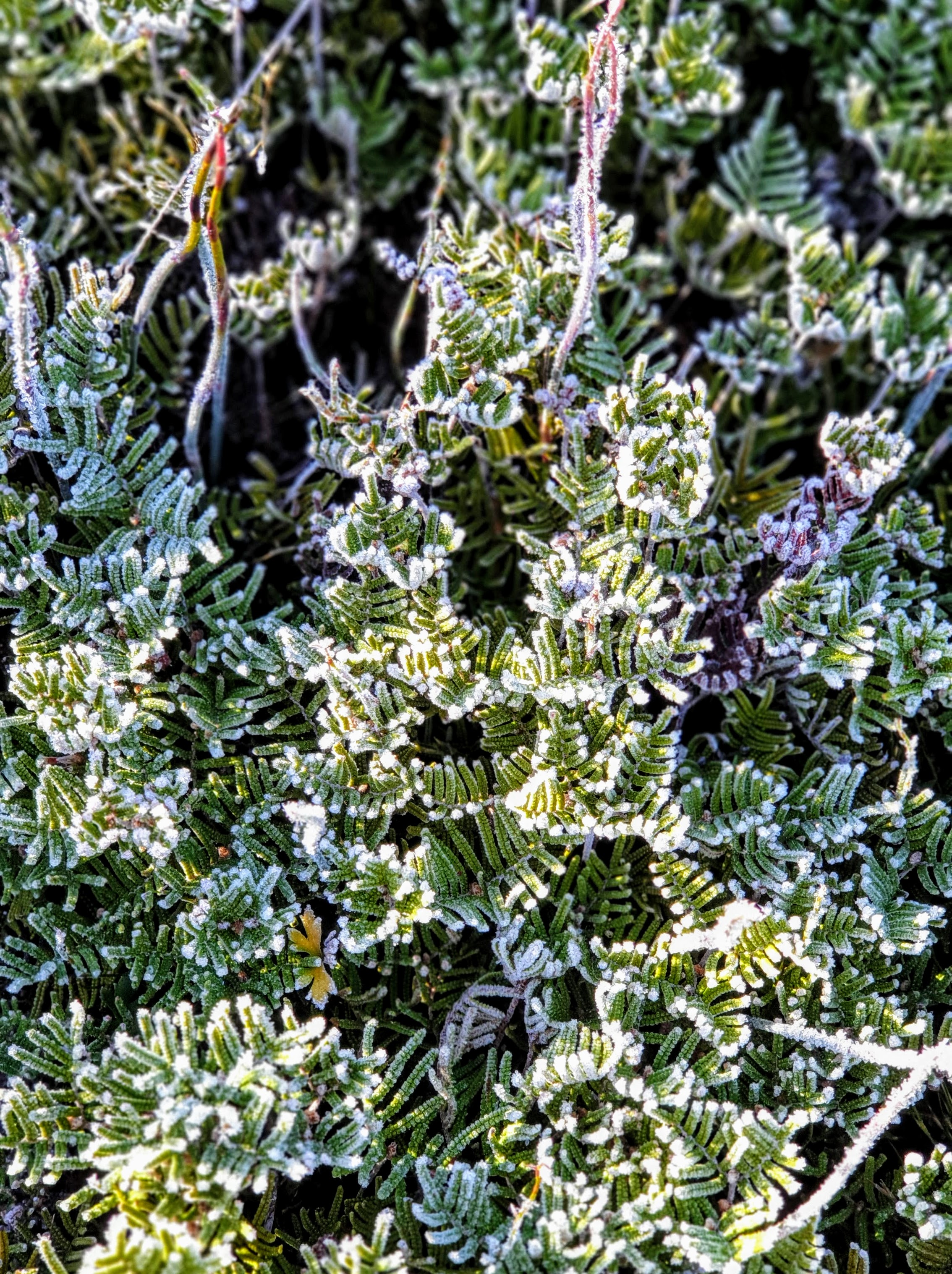
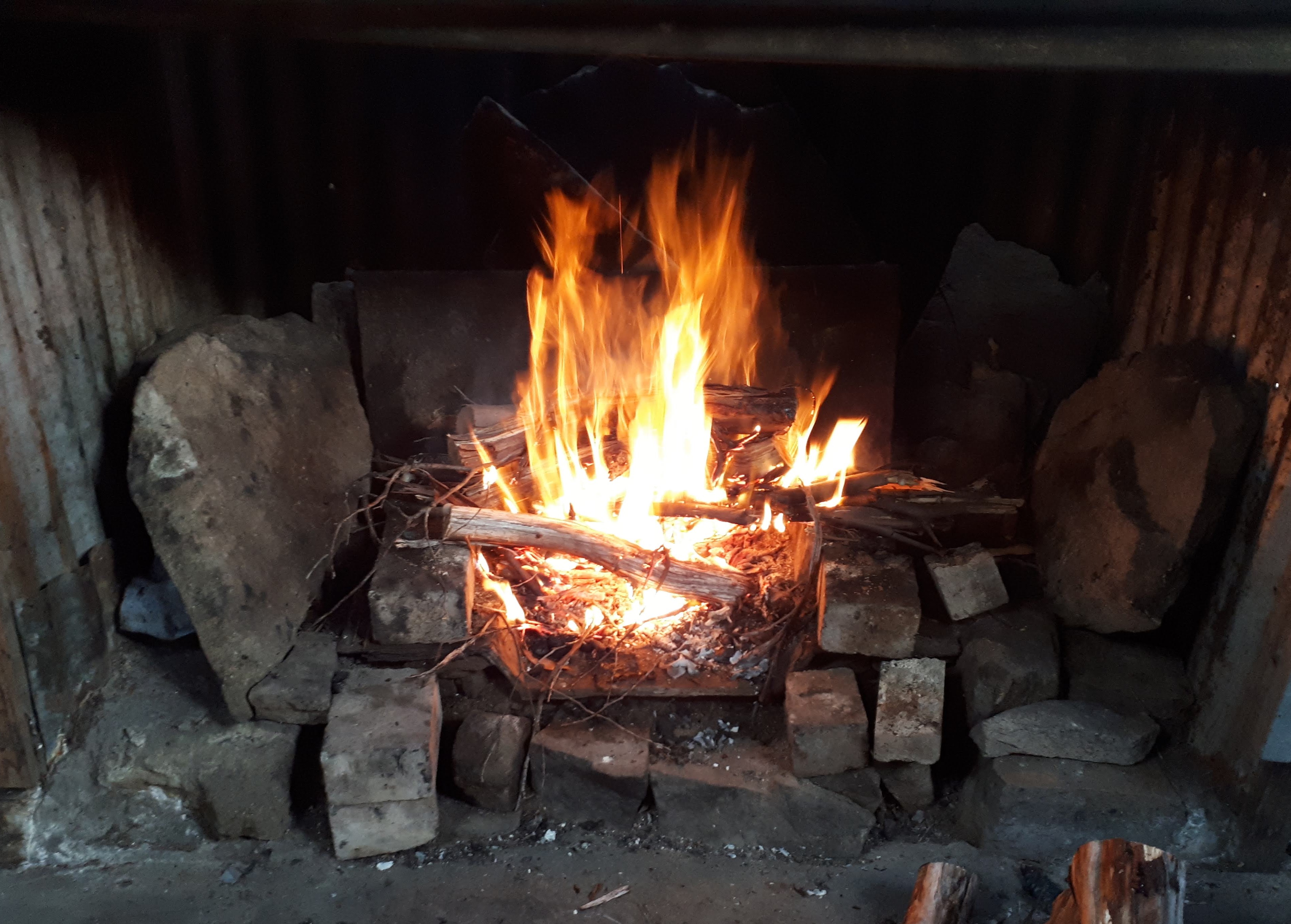
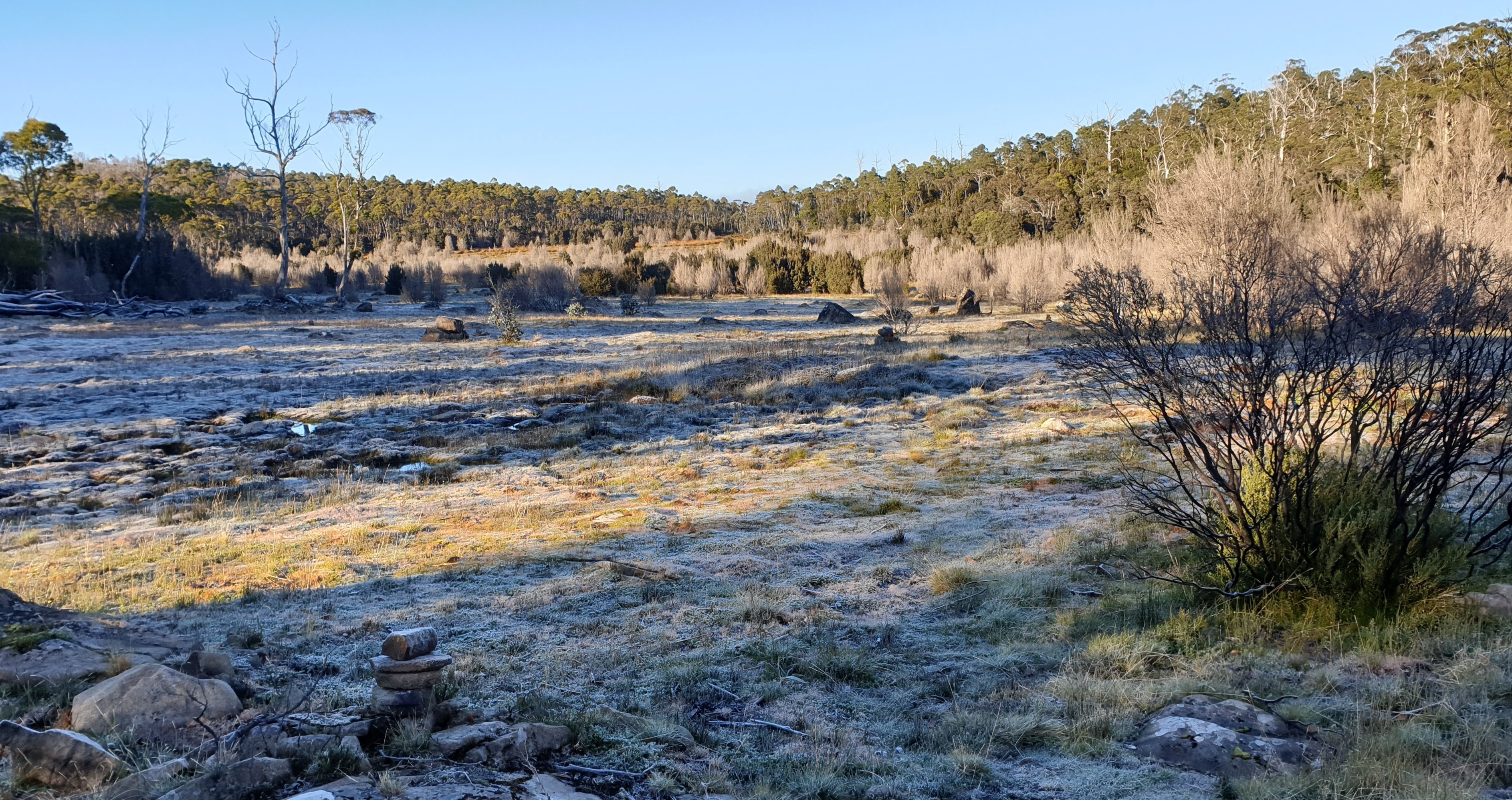
It was a cold night. There was frost on the ground as we prepared to head out on a long day, the longest since Tim’s cardiac event. We were fortified by our scrambled egg and mushroom brekkie and of course coffee.
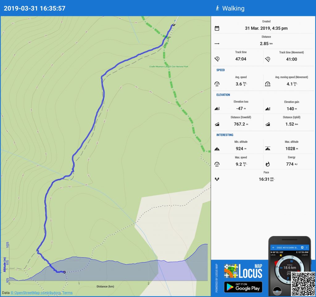
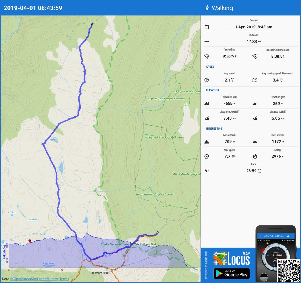
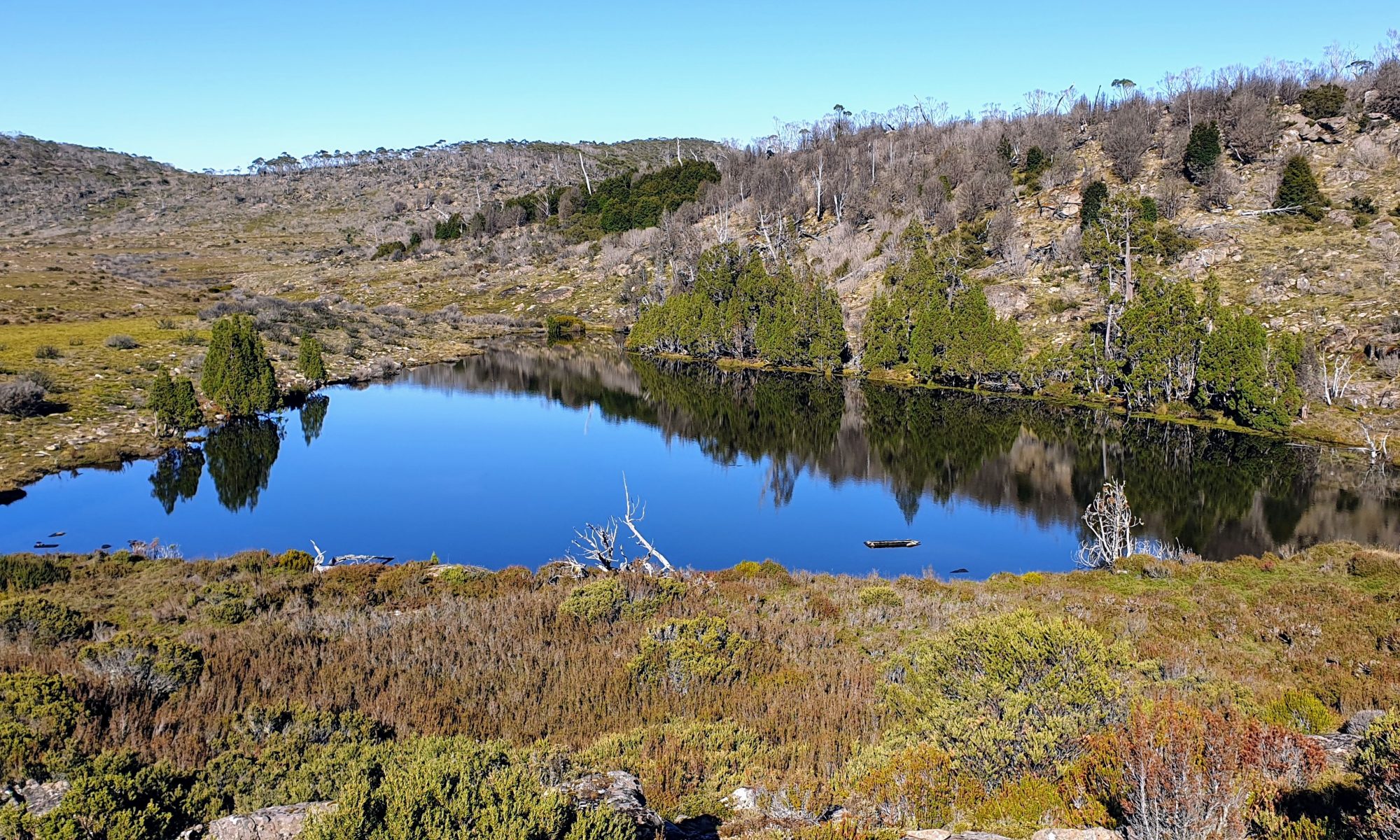
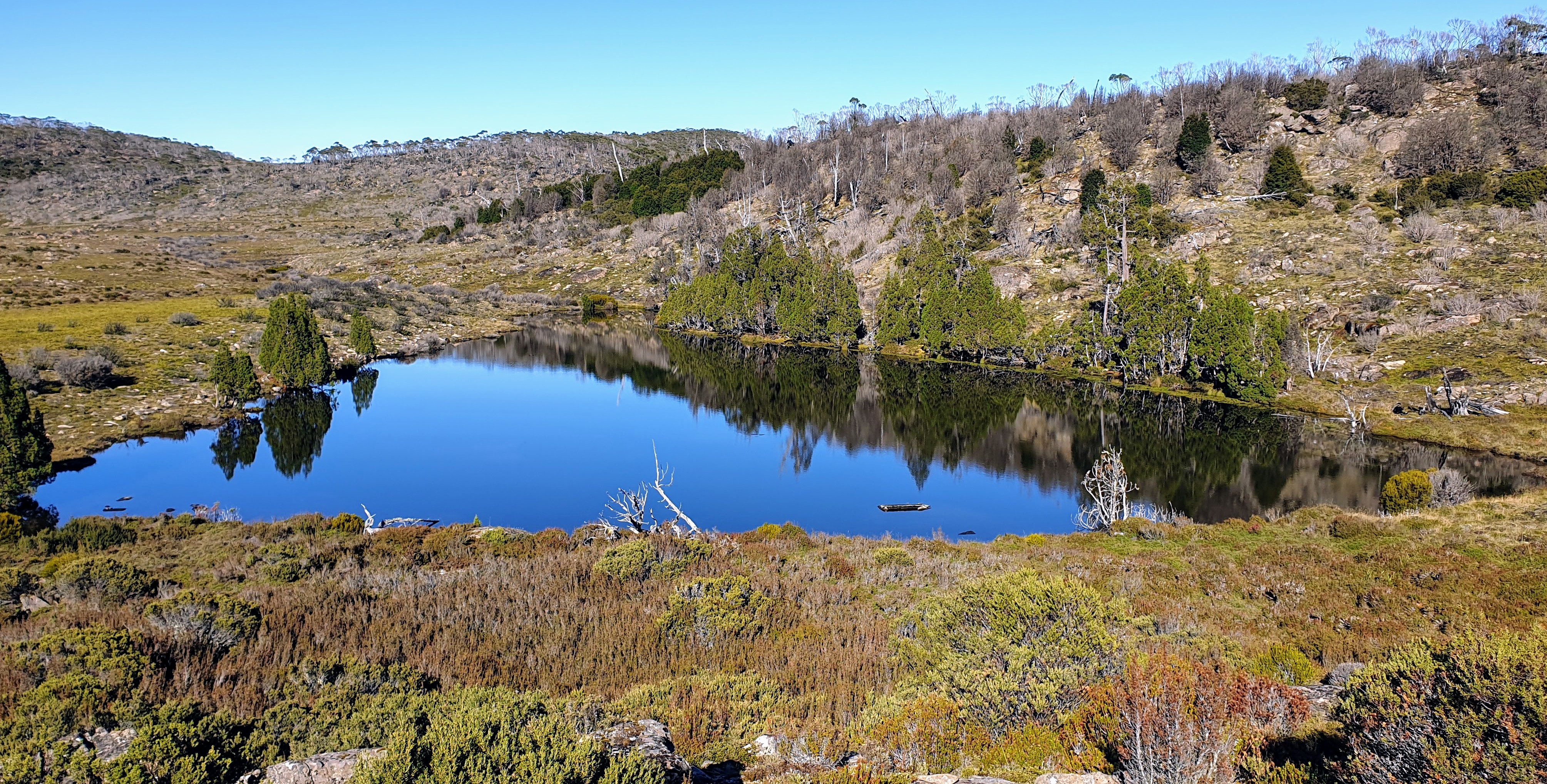
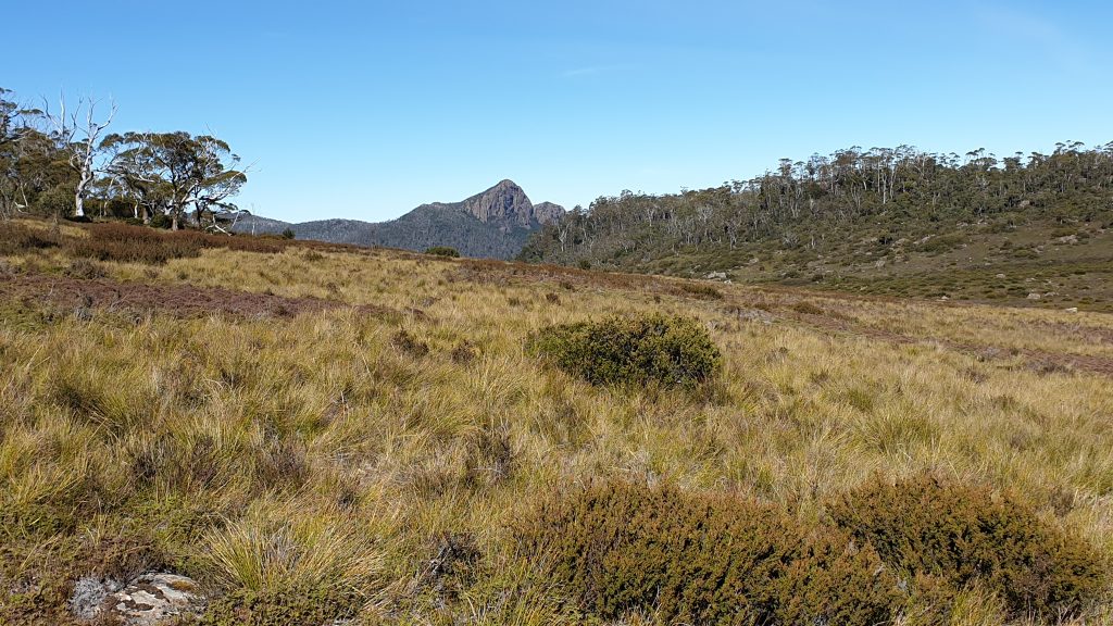
A north-south traverse through the February Plains (all untracked country) is something Tim has keenly anticipated for years. Today was the day! We headed out soon after 8.30 am and followed an old pad leading to Sardine Creek. We then followed the creek up into the higher plains and wove our way around forests and boggy grasslands. Views of Cradle Mountain, Barn Bluff, Clumner Bluff, and the Walls of Jerusalem were stunning on either side of the plains. Over a rise, we came across a delightful unnamed lake.
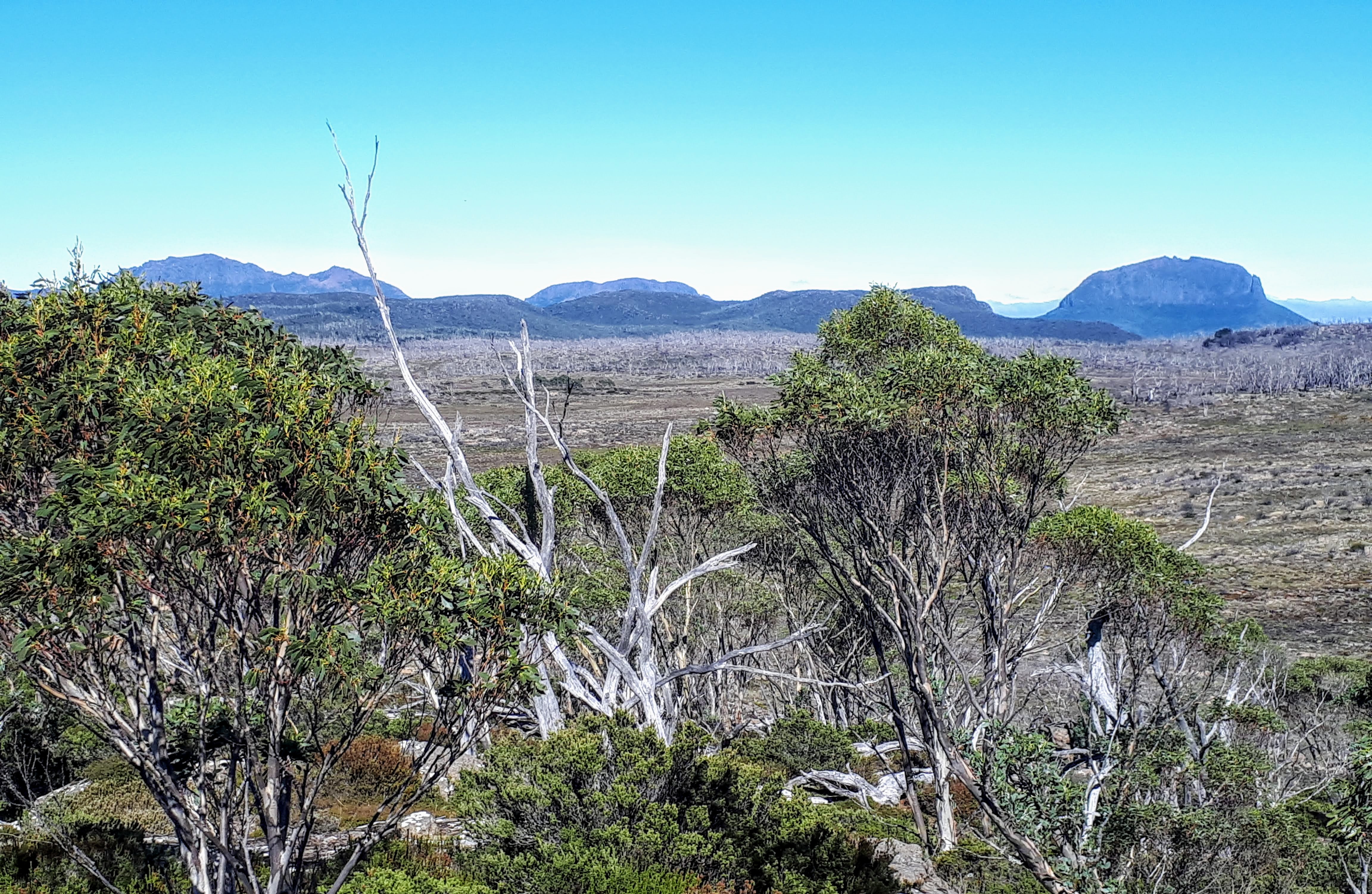
We had not quite anticipated the breathtaking panoramic vistas of the central Cradle Mountain National Park that appeared as we topped a hill above Lake How. Wow! We spotted a high rocky outcrop and clambered onto the highest point and stopped for lunch.
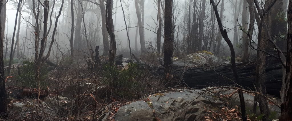
Much of the northern end of the plains was burned in the 2016 bushfires but is beginning to make a slow, partial recovery. Some cushion plants we saw will not recover with continuing dry conditions. Once we started to wind down towards the Warragarra River we were back into virgin unburned country. We hope to go back and spend more time here exploring the ancient stands of myrtle and pencil pines which have successfully resisted centuries of fire but sadly maybe not the next one.
Over the divide the water all flows south, mostly down to Lees Paddocks and into the Mersey. We followed creeks where we could and found several old cairns and trail markers. At least some of these are old enough to be from the Field Brothers stock route of the mid 1800s.
Mt Pillinger dominates the last few kilometres before meeting the Arm River Track just before it crosses the Warragarra. A hop, skip and jump (literally) down the Arm River track and we were at the car.
Count the Mountains – we could count 27 major peaks throughout the day, most of which we could see in a ring around us from our lunch spot. Mts Claude, Van Dyke, and Roland, Western, Fisher, Turrana, and