November, 2018
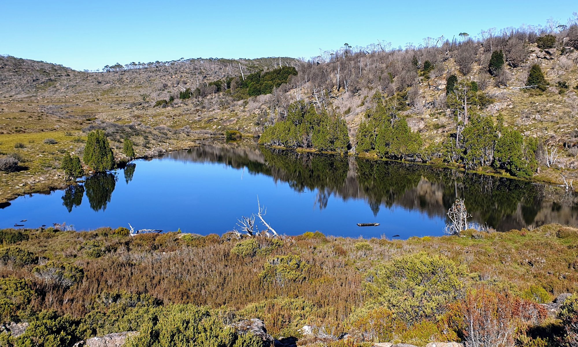
With three weeks remaining until we depart on our Island Traverse, we took a detour on our way home from Hobart on Friday to check out some of our possible routes through the Florentine Valley and Scotts Peak Dam Road. We checked in to accommodation in Maydena before heading west along Gordon River Road. Several stunning peaks emerged from wild cloud cover momentarily or could be seen above the wall-like forests hugging the road. Our first task was to locate water and camping spots along SPD Rd. Our initial reaction was delight at the myriad colours of forest foliage, in particular, the deep reds and rust colours of new growth on the myrtles. We have learned that we will need to carry more water than we had expected, and have camping spots to aim for at Condominium Creek (Mount Anne Circuit), Edgar Dam and Huon Campground at the start of the Port Davey Track. The blustery weather, bringing snow, strong winds and rain overnight, also precluded our views of the Arthur Range, so we eagerly anticipate our first sighting as we inch our way down on foot in a few short weeks’ time.
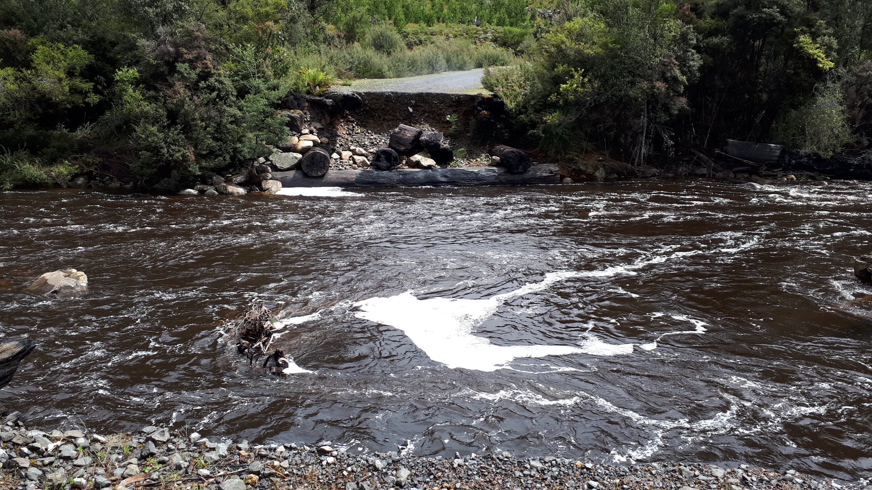
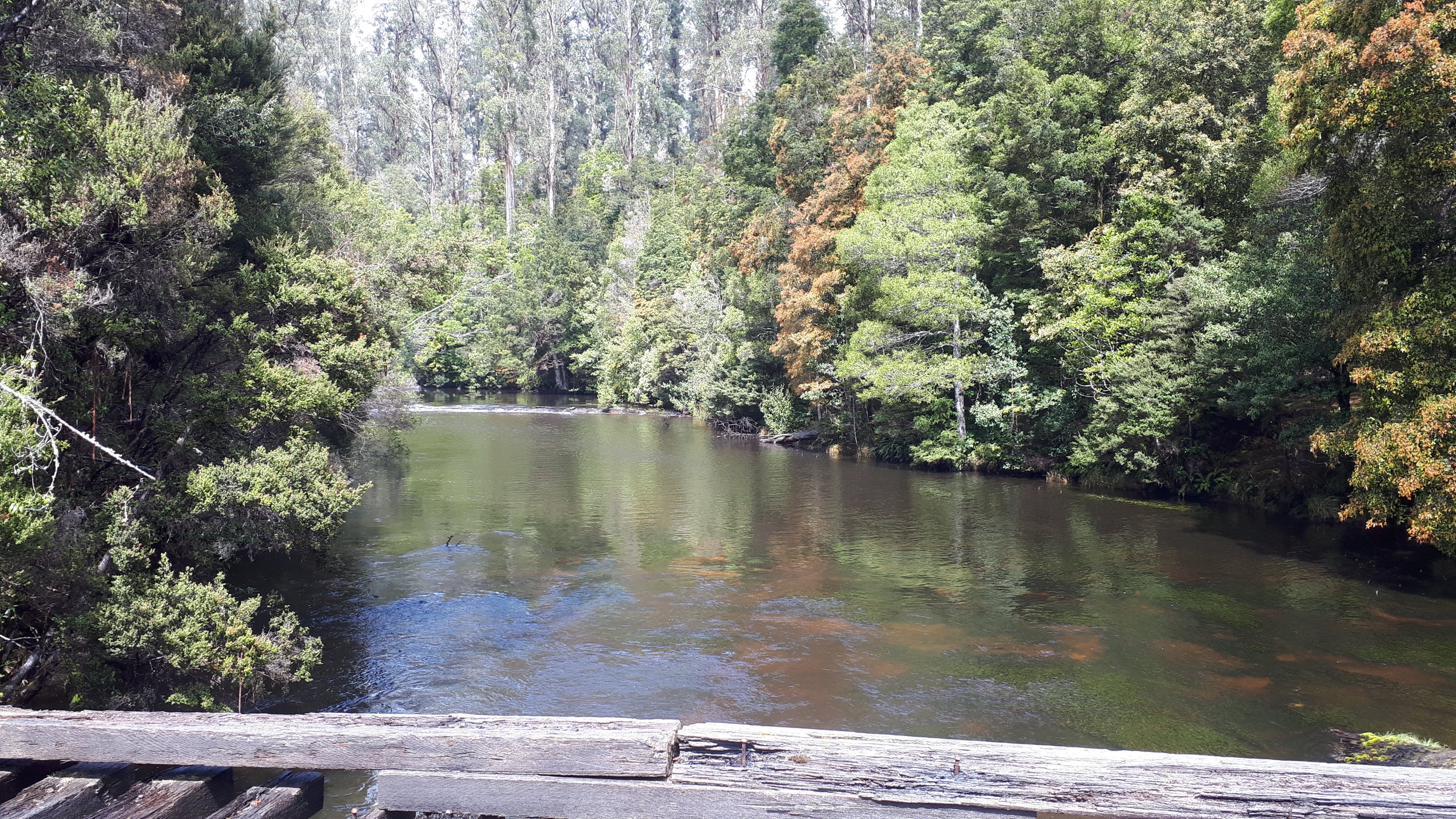
Power supply to the whole southern Tasmania region was lost in the morning, and we departed eager for a coffee. That had to wait until mid-afternoon for the Florentine Valley had to be surveyed first. We drove up as far as the lost Wayatinah Bridge to check out whether we could wade across the Florentine there. The bridge was burnt down 5 years ago (presumed to be arson) and there is no plan to rebuild it. Tim found a place downstream where the river is crossable, and we anticipate a long hard day steadily climbing the following 5 km. The pleasant surprises of the day were some stretches of beautiful old-growth forest as yet untouched, a couple of bridges marked closed to vehicles but able to be crossed on foot, and a couple of spectacular campsites on the banks of the Florentine. Tim estimates we will make 5 crossings of the Florentine as we journey south, meeting it close to where it flows into the Derwent River at Wayatinah and leaving it close to its origin.
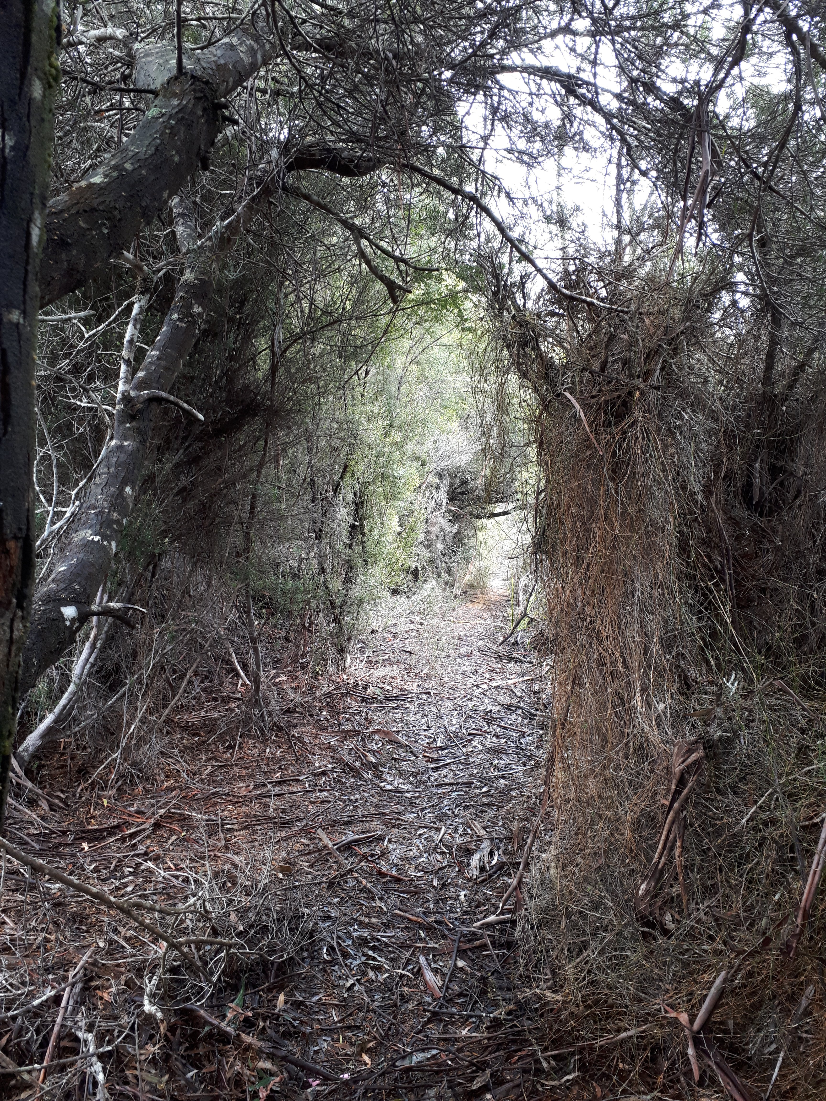
Our final task was to see if we could locate the start of the Adamsfield Track, and yes, we did. We now have a reasonable understanding of the lower section of our route from Lake St Clair to the start of the Port Davey Track. It looks far more interesting than we had expected. It was fascinating to see the tracings on maps and Google Earth images come alive and to try to imagine how we will be feeling as we wander through that area, carrying our shelter and food on our backs. We could be walking that way in piercing sunshine or steady downpours … we will let you know in good time!
Our coffee at the Possom Shed Cafe was, as advertised, sensational, as was a belated lunch. Worth a visit if you are in the area, and a trip down the Gordon River Road to Westerway even if you are not! We would be very happy to receive takeaways from there, if anyone is keen to meet us at the start of the Adamsfield Track. Tall lattes and Possom BLTs, one Gluten free, please.