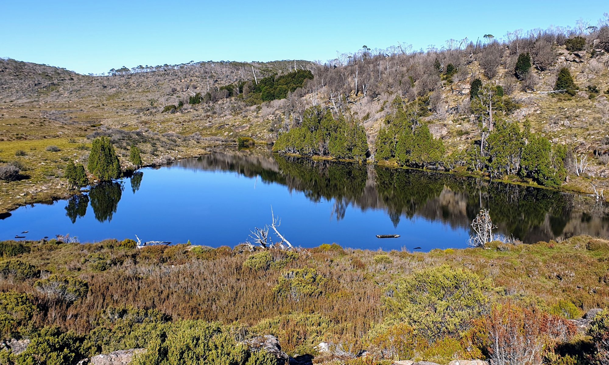
Day 8: 3 March 2019
For a while we have wondered how we would go climbing the 640m elevation ascent from Lemonthyme to Borradaile plains. We looked at a range of possibilites on several old maps. The planning was made more challenging for two reasons. First, the whole area was burnt out in 2016 which meant no clear indication of any cross country tracks through the bush. Secondly, the existing forestry roads had been closed by bulldozing the accesses many years ago and they were consequently well grown over and washed out in places. We knew both these facts and were prepared to navigate as close to the old maps as we could. What we didn’t know was that whoever had drawn the connecting tracks on the old maps had clearly never been there and had just sketched them in where someone had suggested there was a connecting track.