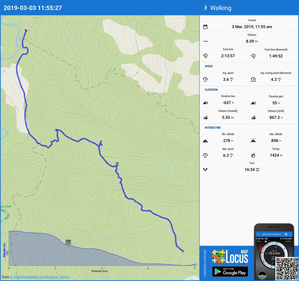
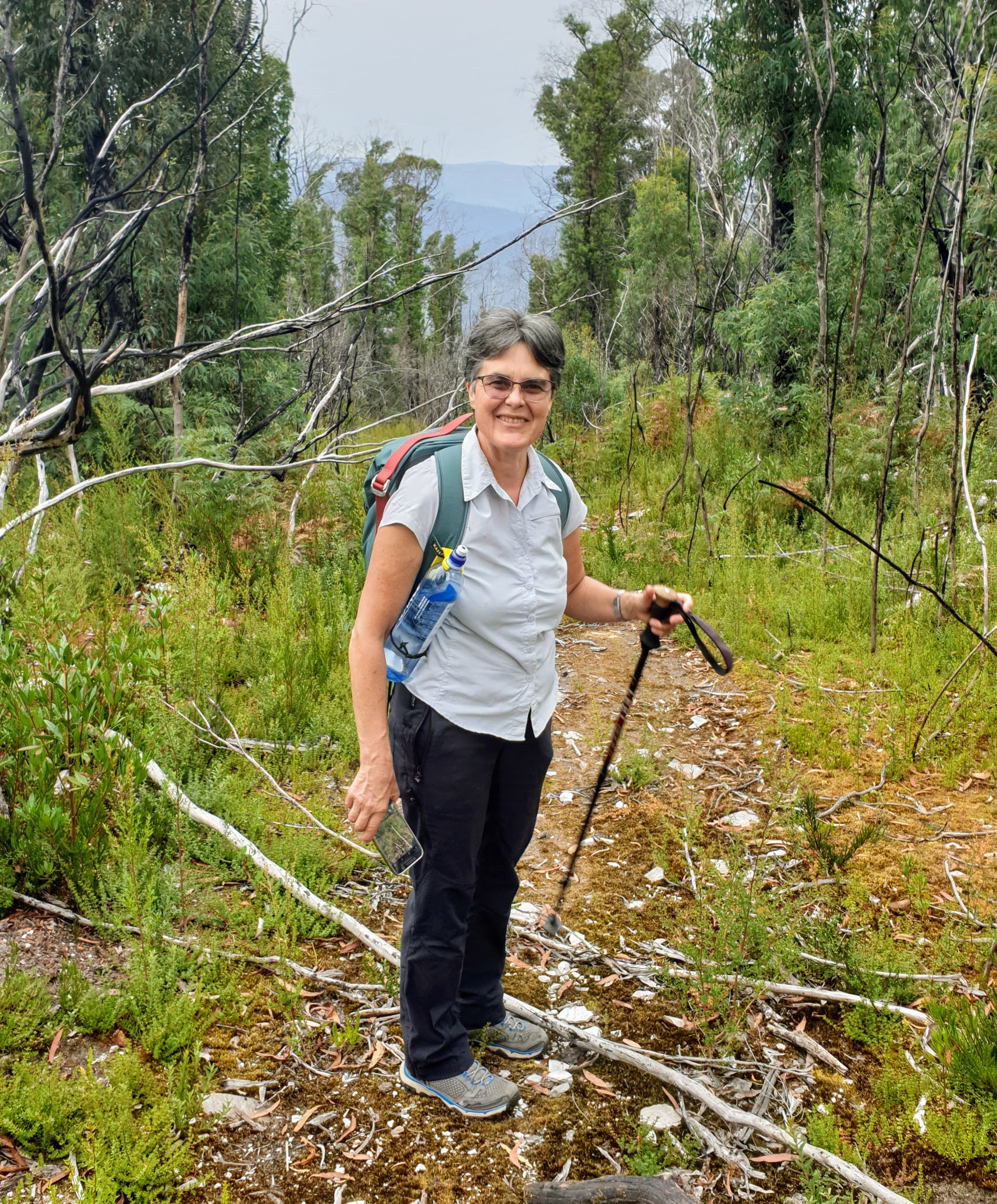
Day 8: 3 March 2019
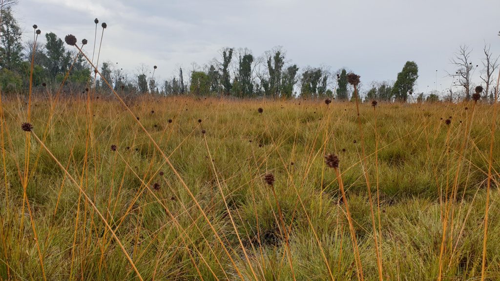
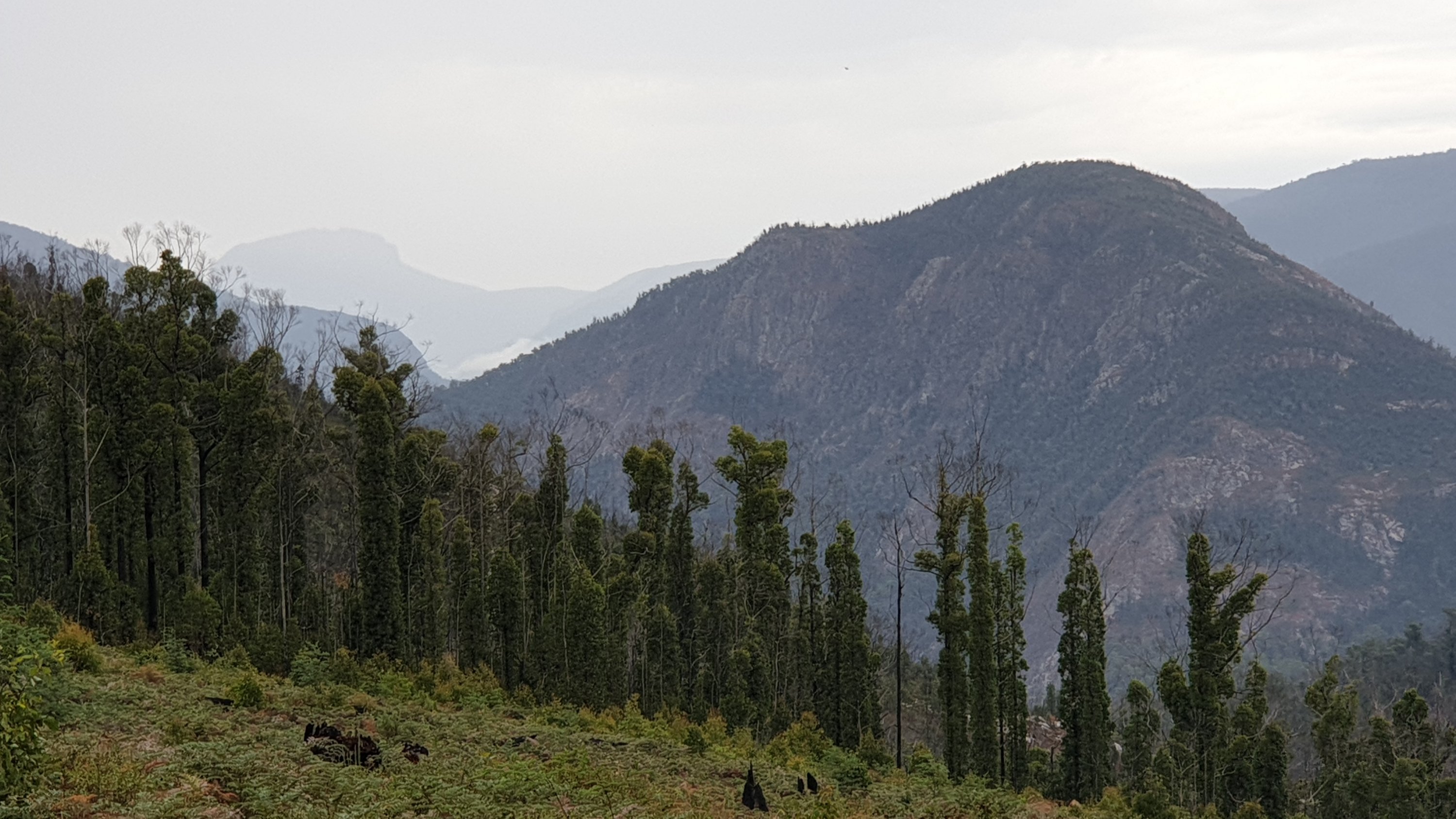
For a while we have wondered how we would go climbing the 640m elevation ascent from Lemonthyme to Borradaile plains. We looked at a range of possibilites on several old maps. The planning was made more challenging for two reasons. First, the whole area was burnt out in 2016 which meant no clear indication of any cross country tracks through the bush. Secondly, the existing forestry roads had been closed by bulldozing the accesses many years ago and they were consequently well grown over and washed out in places. We knew both these facts and were prepared to navigate as close to the old maps as we could. What we didn’t know was that whoever had drawn the connecting tracks on the old maps had clearly never been there and had just sketched them in where someone had suggested there was a connecting track.
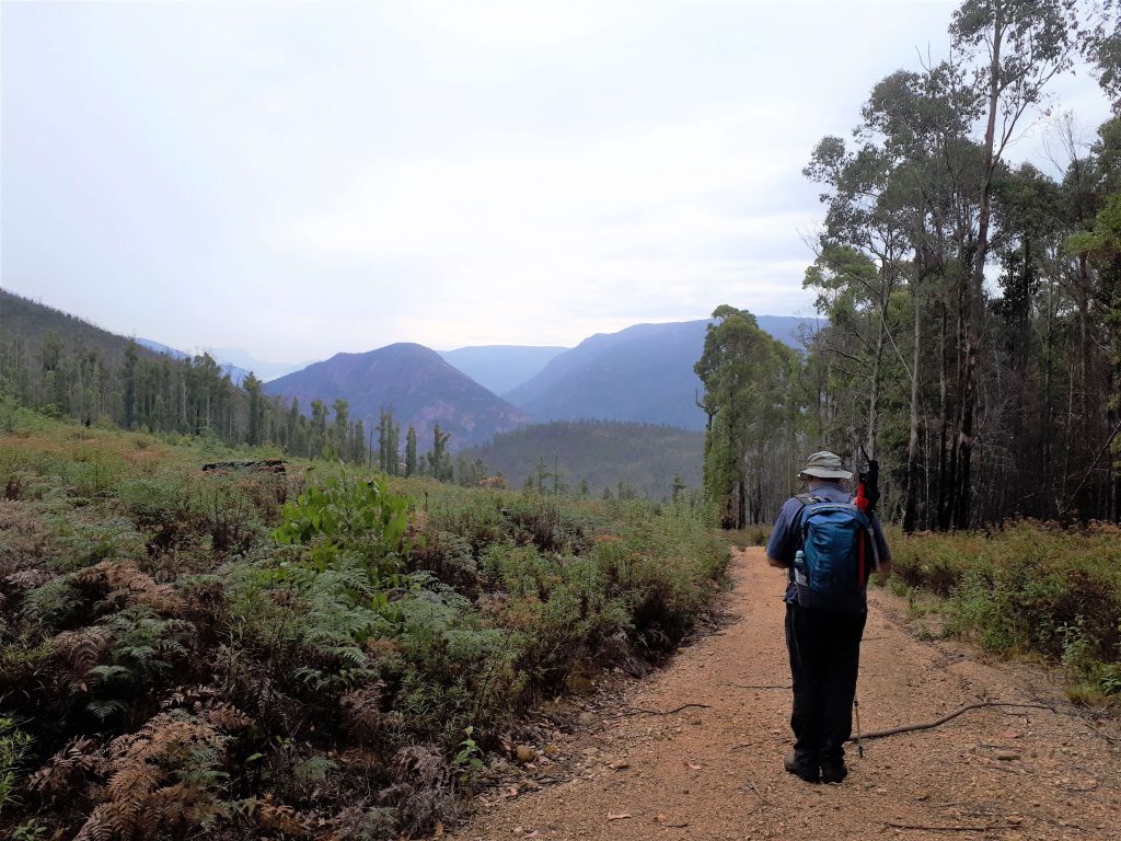
Thankfully we made the decision to walk down the hill instead of up and found the beginning of a rough track where nothing was marked on the map. It was heading in the right direction so we gambled and followed it down. The track was simply a couple of very old 4WD bike ruts winding their way through a forest which had been subsequently burnt. It was tricky navigating but we found our way. We eventually emerged on the right old forestry road according to our GPS and headed along to where the marked track was supposed to be. No sign of it. We eventually worked out that we had in fact taken the right path, it just was in a very different place (by about 350m) than was marked on the map. If we had been climbing uphill we never would have found the start of this part of the track and would have had to turn back and redesign our route which would have been frustrating and disappointing. As it was we enjoyed the fun of exploring and can now update our maps with a route which works.